
A Boundary Retracement or ReStake is a survey to re-locate or verify the location of existing boundary lines.
If you have a property but don’t know where your boundary lines are, or always knew the line was “over there somewhere”, this is the type of survey you are looking for.
This survey is marking your boundary lines on the ground so you can see them.
A variety of methods are used to mark boundary lines. Survey Markers are placed in deflections or corners. In wooded areas trees are blazed and painted. In open areas wooden stakes can be placed along the line.
We will work with you to determine how you would like the line marked so it will be preserved.
As an added benefit a Plan of Survey can be prepared showing the results of the survey and the locations of the boundary on a plan.
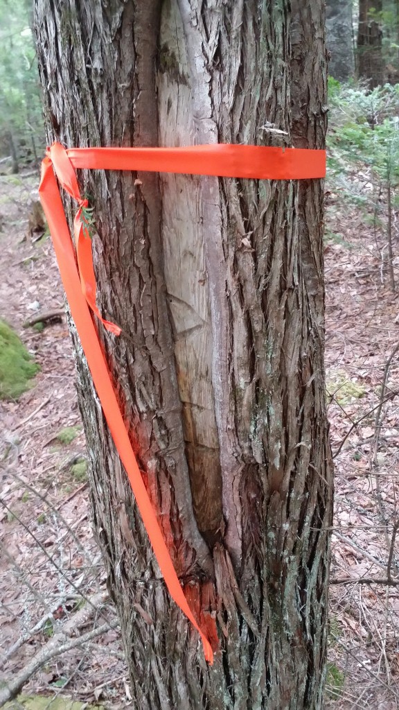
This blazed tree has the initials of the surveyor and the date scribed into the blaze. This blaze was a witness to a corner post.
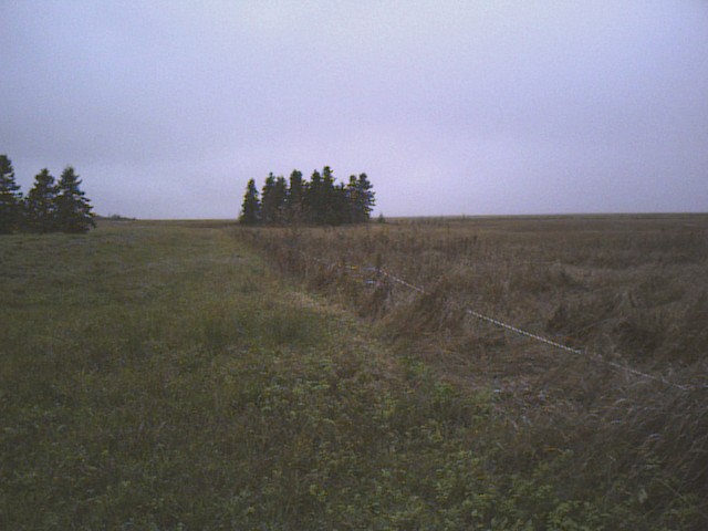
A fence along the edge of a field
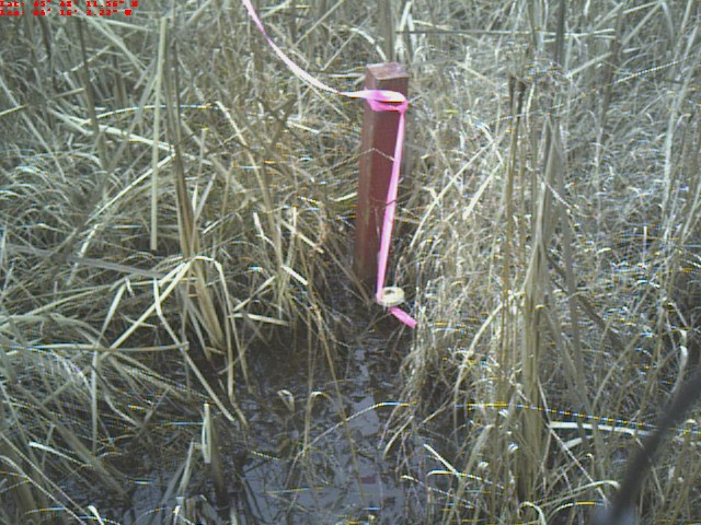
Survey marker in a marsh with wooden witness post to help locate it
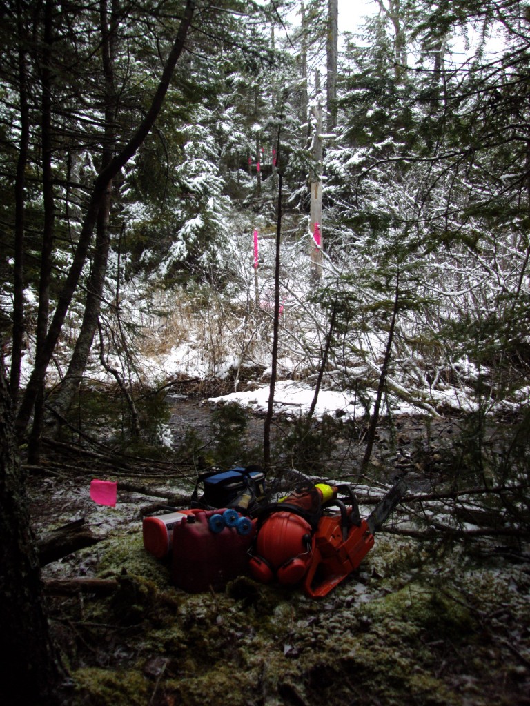
Blazed line through the woods

Rock line along the edge of a former field. Sections of cedar rail fence were also found on top of this rock line